By Magdy Mikhail, Texas Department of Transportation
TxDOT Reference Marker (TRM) system provides a method of tracking pavement condition data for the past, present and the future. The TRM is used for all state-maintained highway network including: Interstate, US highways, State Highways (SH), Farm to Market (FM) roadways and also state-maintained toll roads.
TxDOT derives Reference marker numbers by imposing a grid on a map of Texas. Grid axes are set on extreme western and northern points, where numbering begins with ten. The first reference marker numbers match approximate grid locations. Subsequent marker numbers increase by two. Numbers increase north to south and west to east, depending on the highway’s general direction (except north‑south interstates, where numbers increase south to north). The numbers are continuous from beginning to end across the state and do not start over at county lines. Reference markers are used to determine the locations on the highway network. Figure 1 shows an example of a reference marker on a highway.
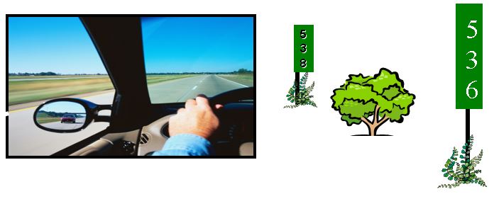
Figure 1. Numbering Scheme for Reference Markers.
The accuracy of reference marker locations is important for the quality of the pavement data collection and also for identifying accident locations.
Operators of pavement testing equipment often encounter a variety of problems during data collection. The reference markers are not consistent from one year to another. The locations may change and installed in the wrong location. The order of reference markers of whether ascending or descending changes from year to year especially for loops. The accuracy of reference markers locations can vary from 0.1 mile up to a mile or more. In some cases the coordinates of the reference markers are missing. Currently the reference markers are based on center line measurements which vary from the outside lane measurement due to curvature and alignment. Another challenge is that some markers may plot outside the road limits, when using GPS coordinates to map reference markers to aid with planning for data collection .
Geographic information systems (GIS) use a coordinate system to define the location of each feature of the network. Connecting relationships between feature coordinates define the routes or branches. The layout of the pavement network can be completely defined with the coordinate system. The use of beginning Distance From Origin (DFO) and ending DFO eliminate most of the problems encountered with linear measurements from a reference point.
The new pavement management systems need to be able to handle multiple referencing systems to evaluate attributes for pavement assets.
For more information, please contact Magdy Mikhail at <Magdy.Mikhail@txdot.gov>